
 Academic Calendar
 Student
 Prospective Student
 International Student
 Student Information Center
 Graduate Inf. System
 Staff
Staff
 Sports Friendly Campus
 Course Information Package
 Unimpeded BAYÜ
 Distance Learning(BAYUZEM)
 Library and Doc.
 Academic Evaluation System
 Write to Us
 University Hotel
 Kalite Koordinatörlüğü
 Technology Transfer Office
BAP
Technology Transfer Office
BAP
 Career Planning App & Researc
 Open Access System
 Forms and Documents
 Cloudy
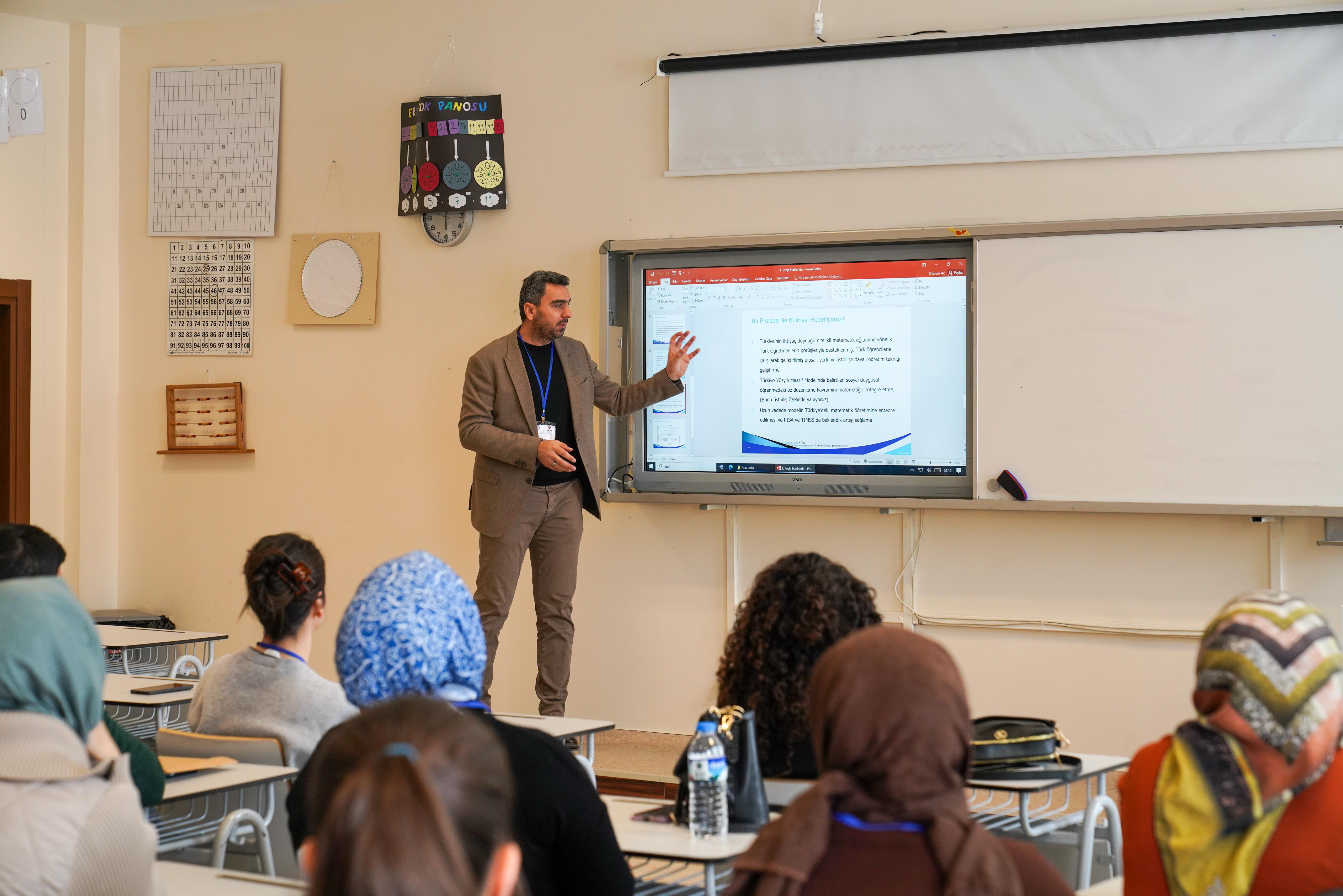
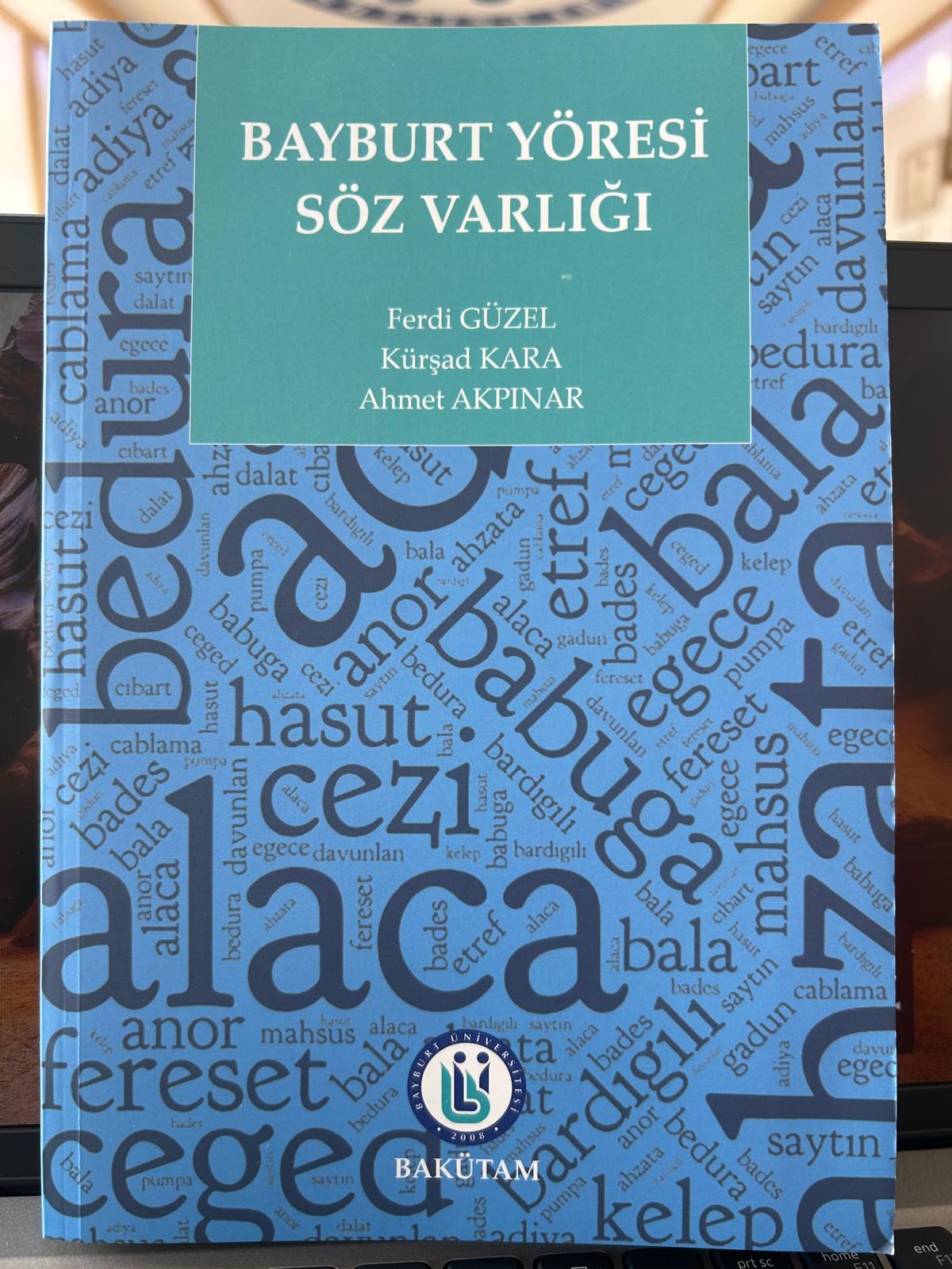
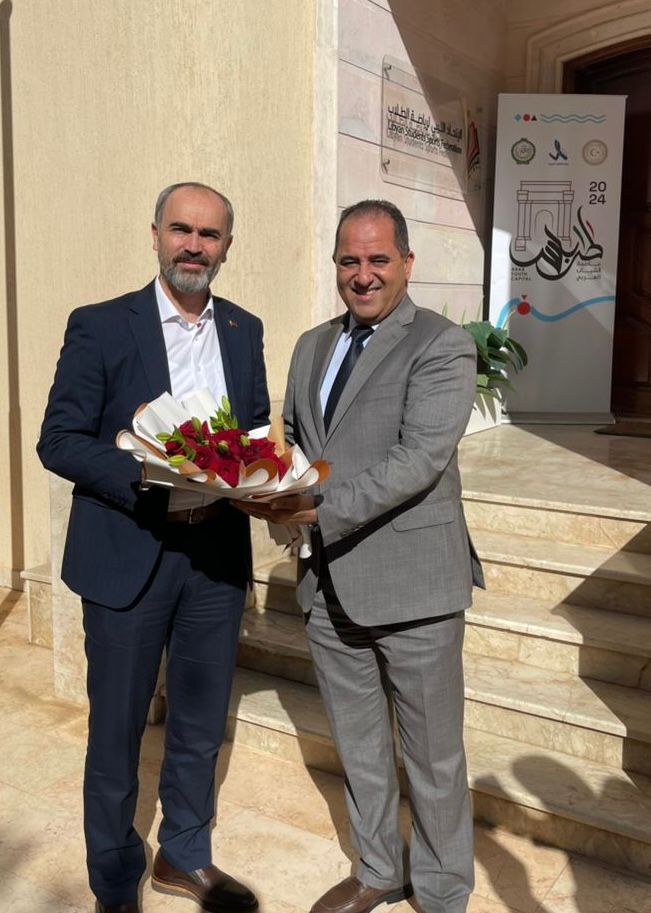
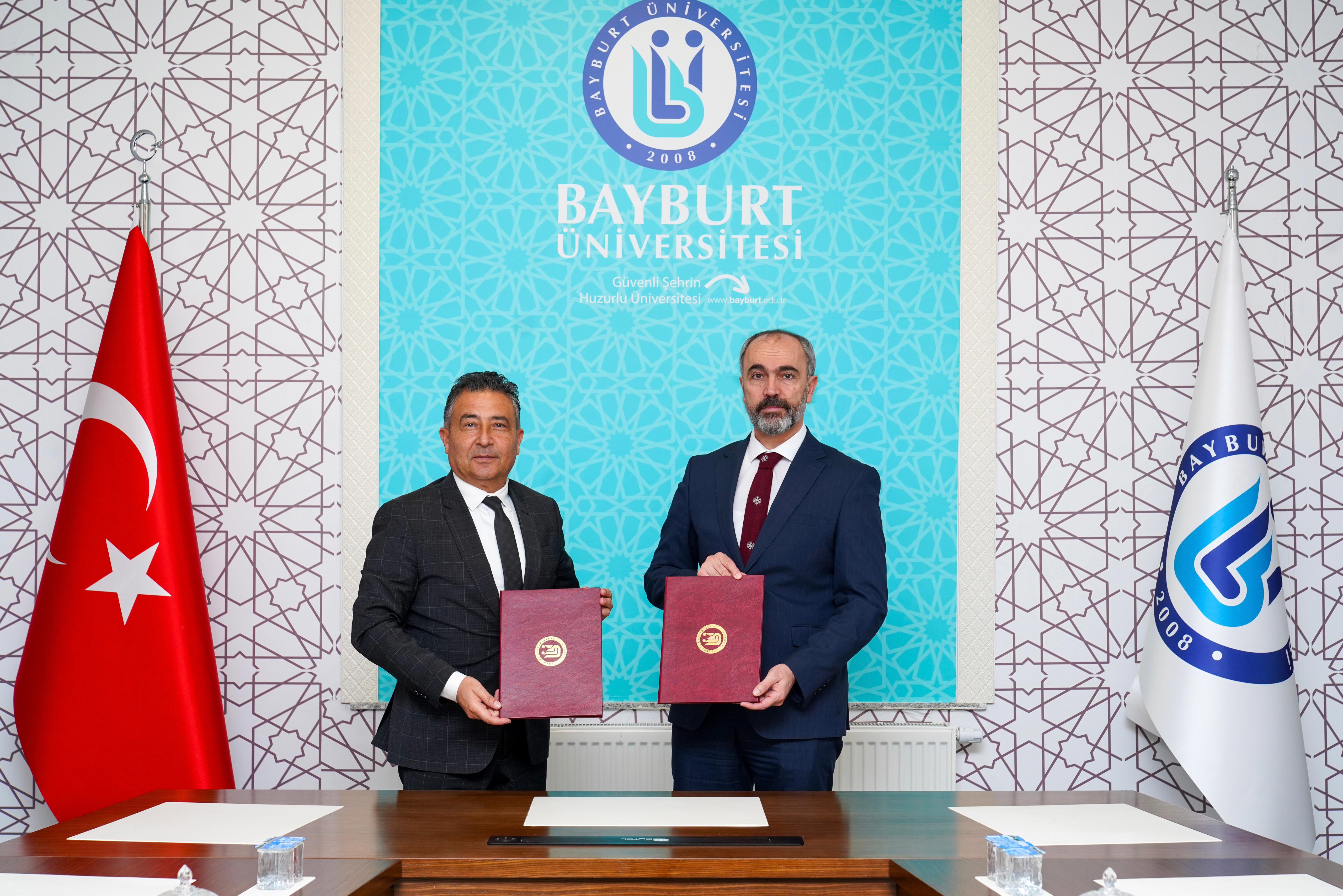
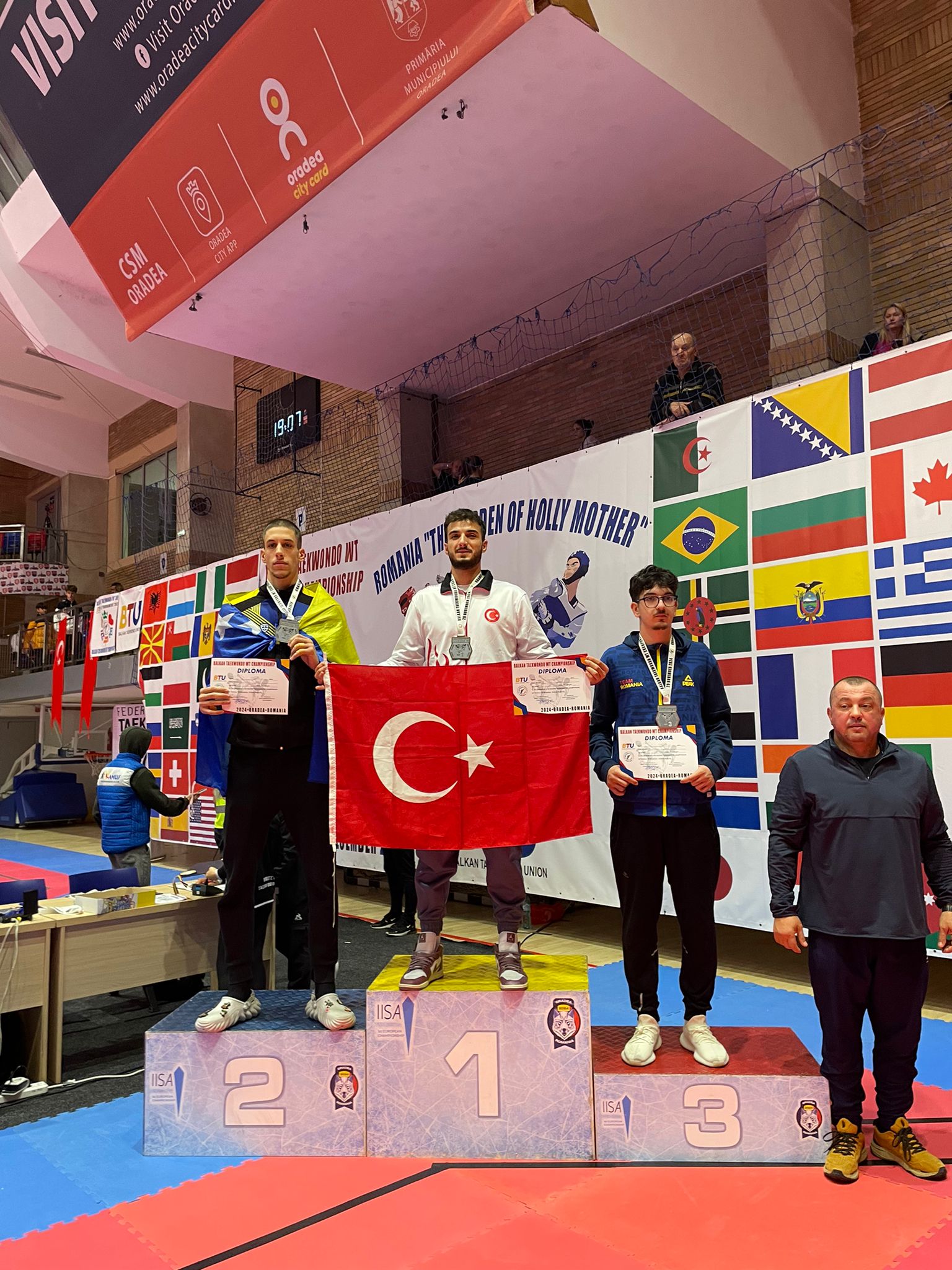
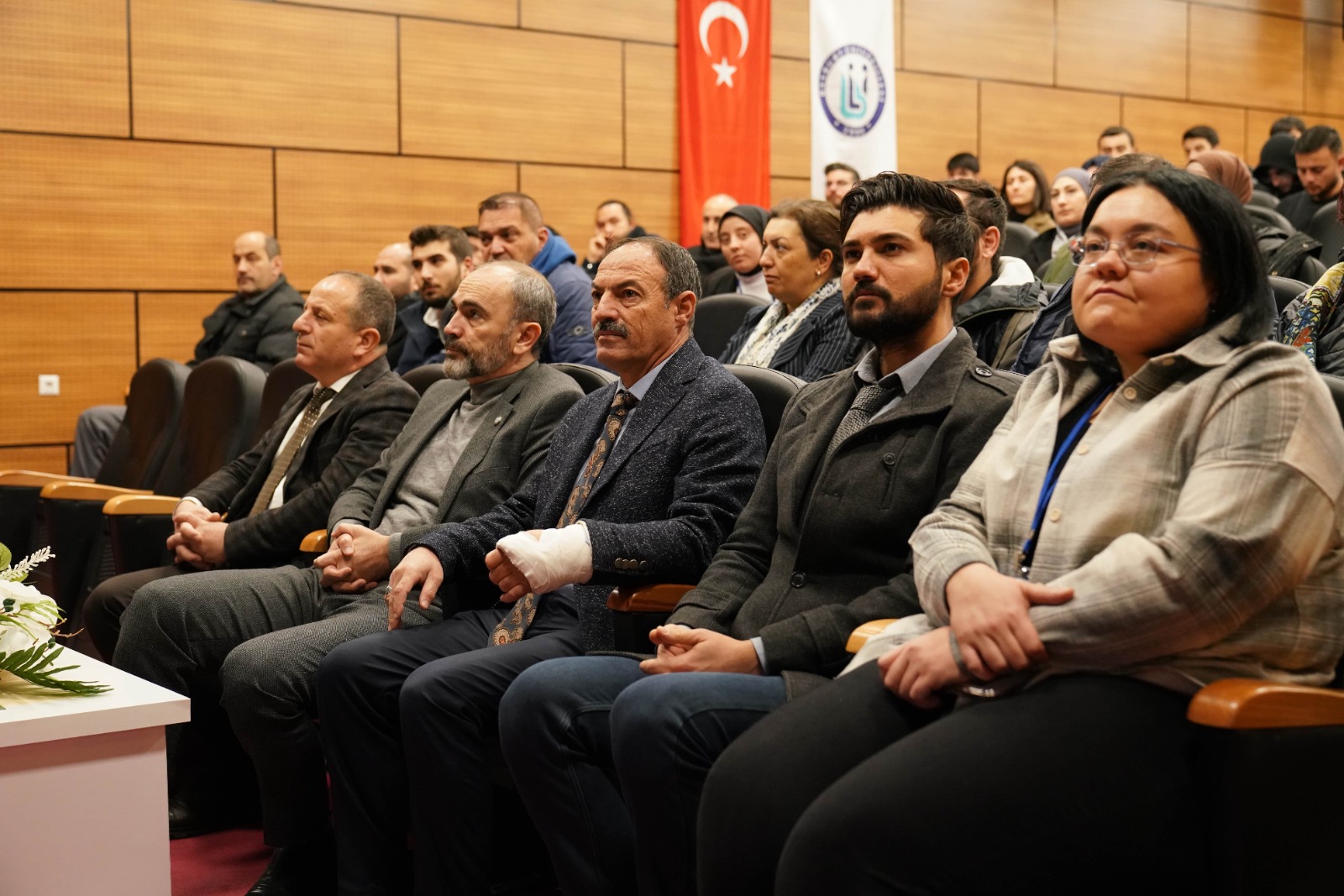
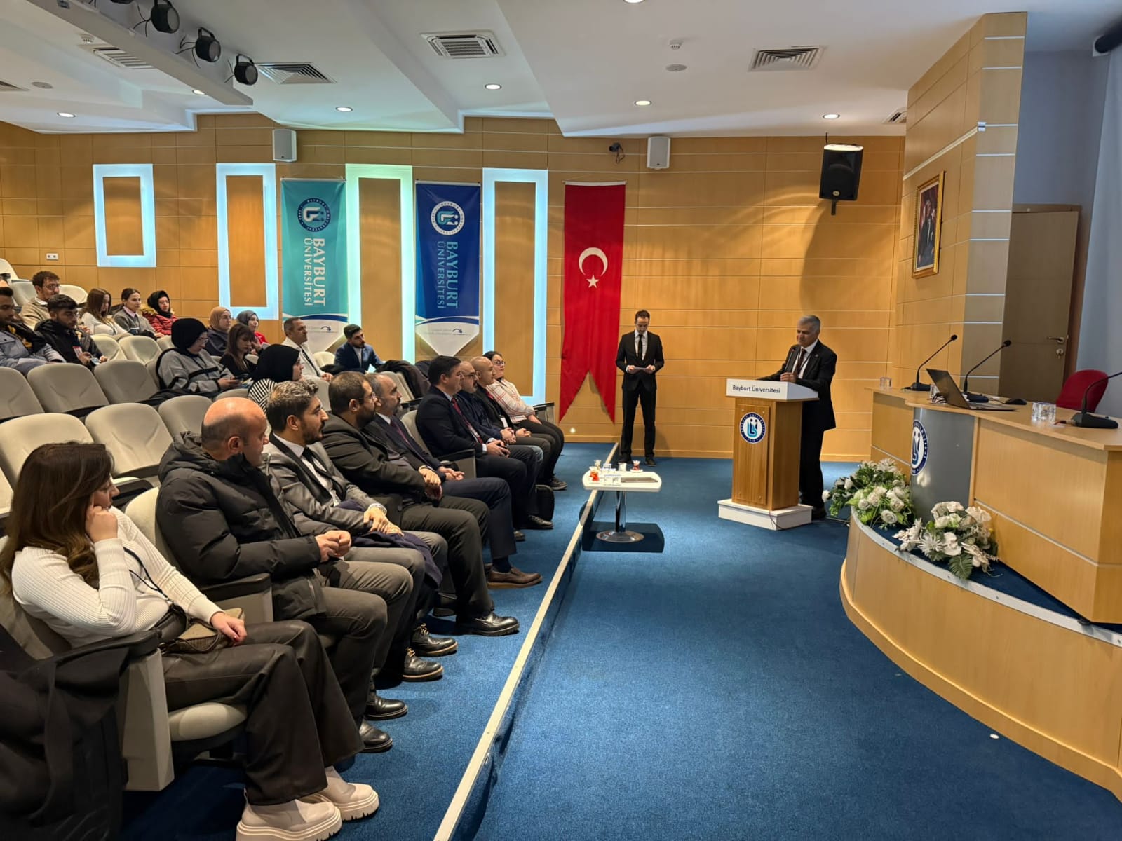
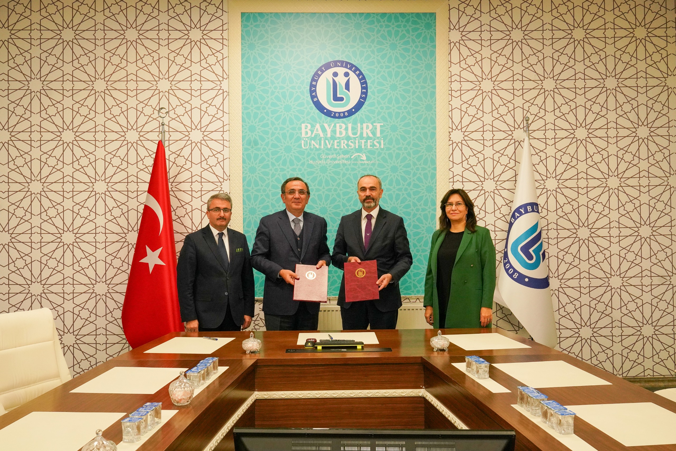
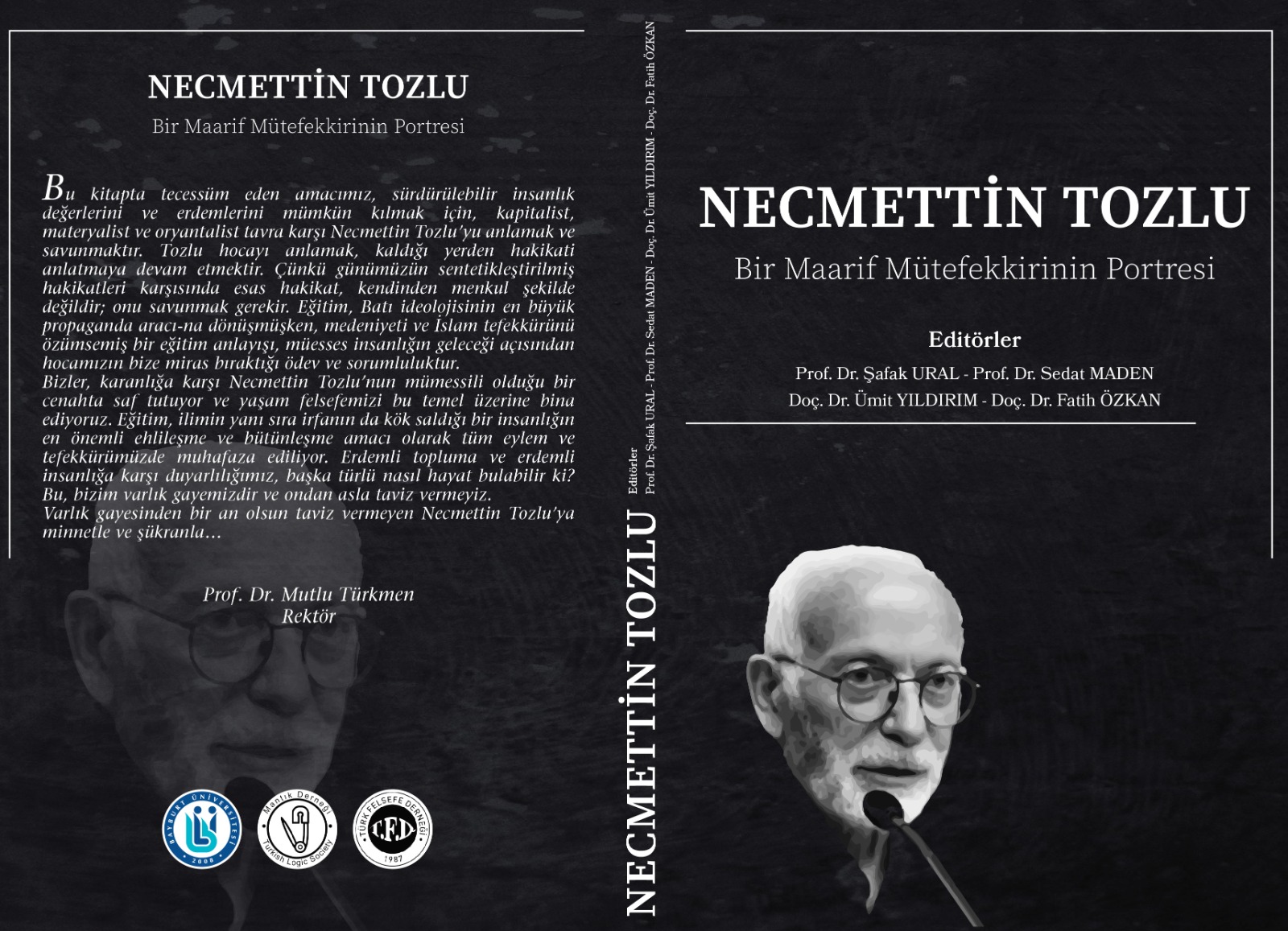
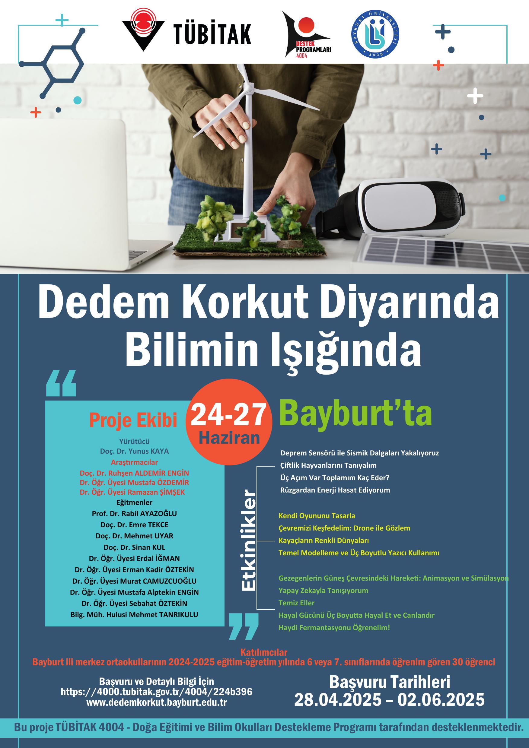
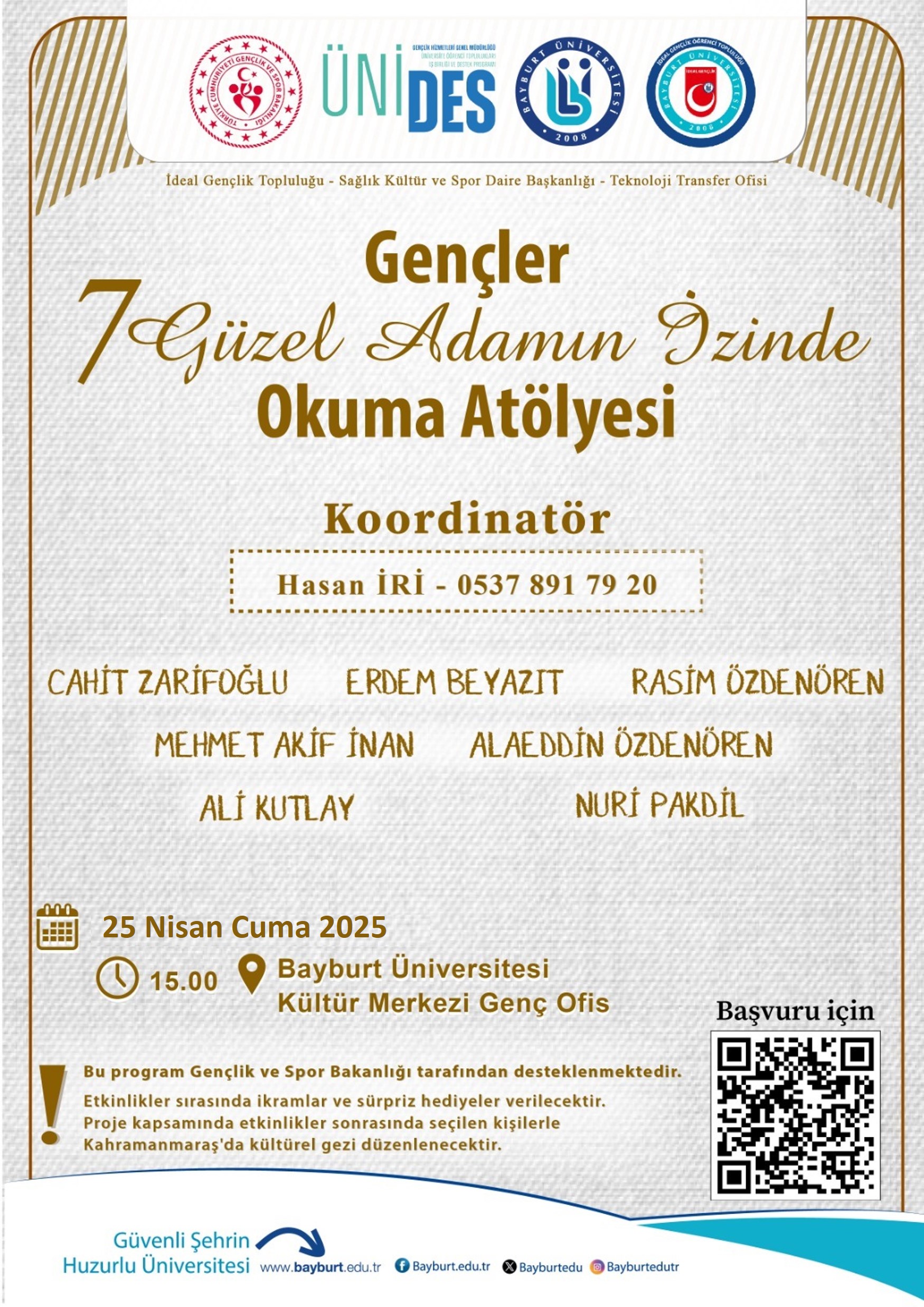
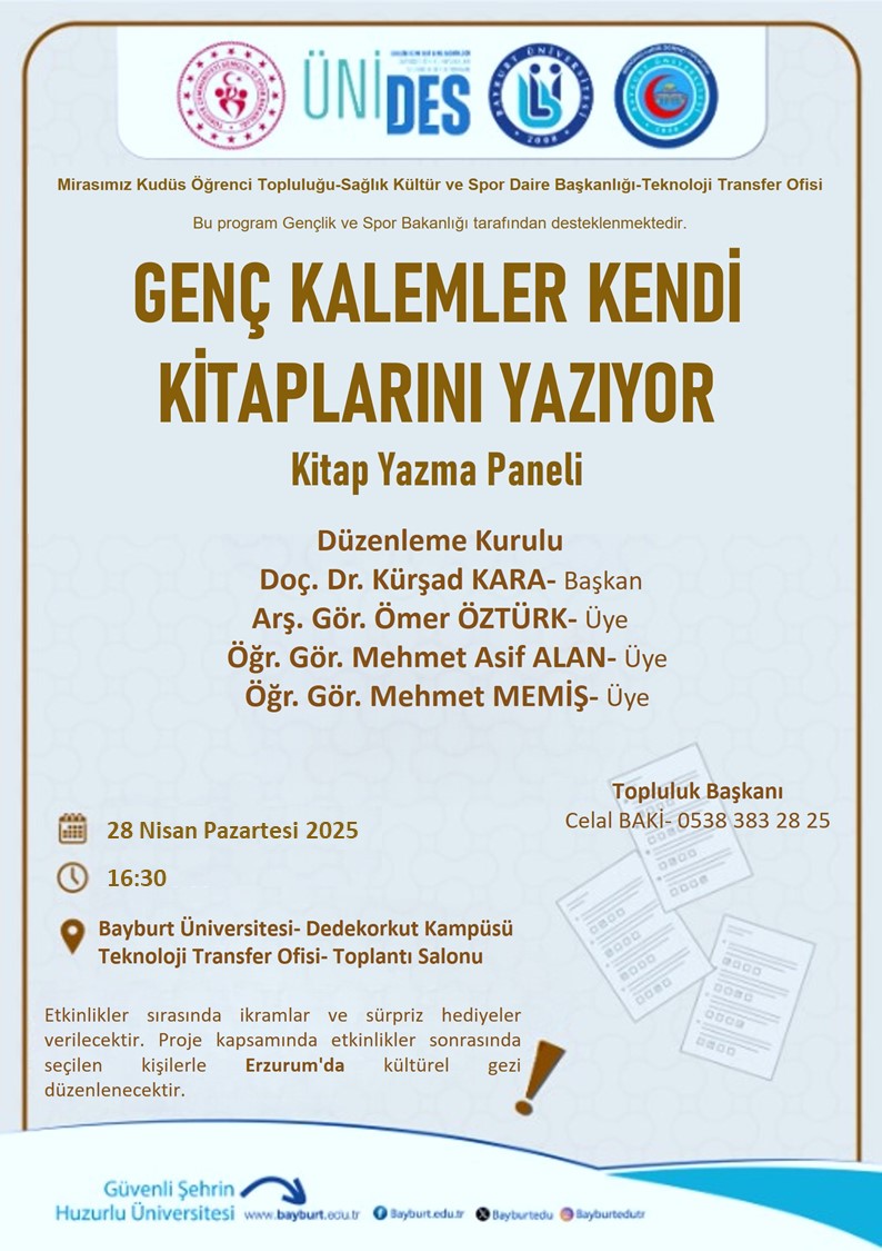
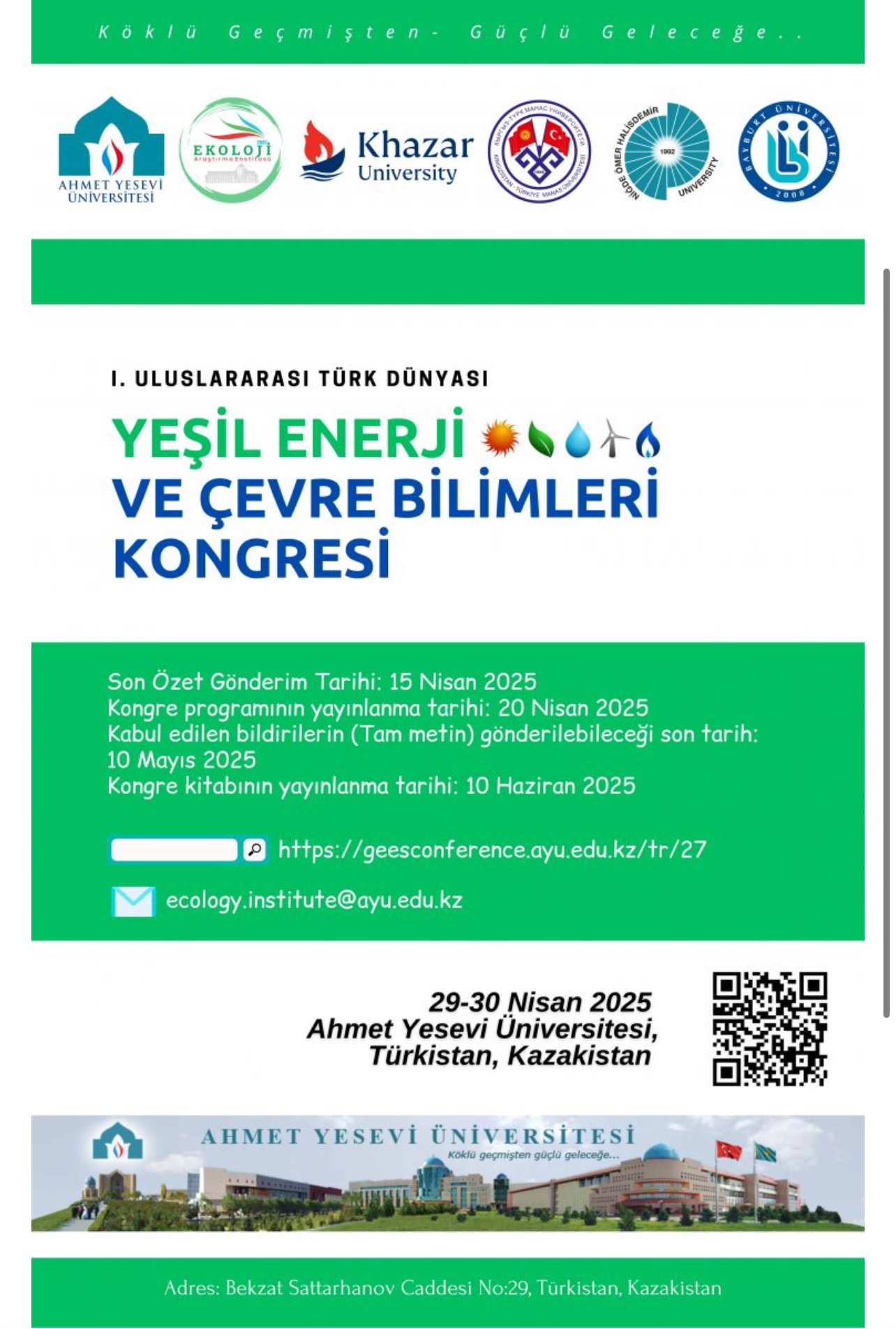
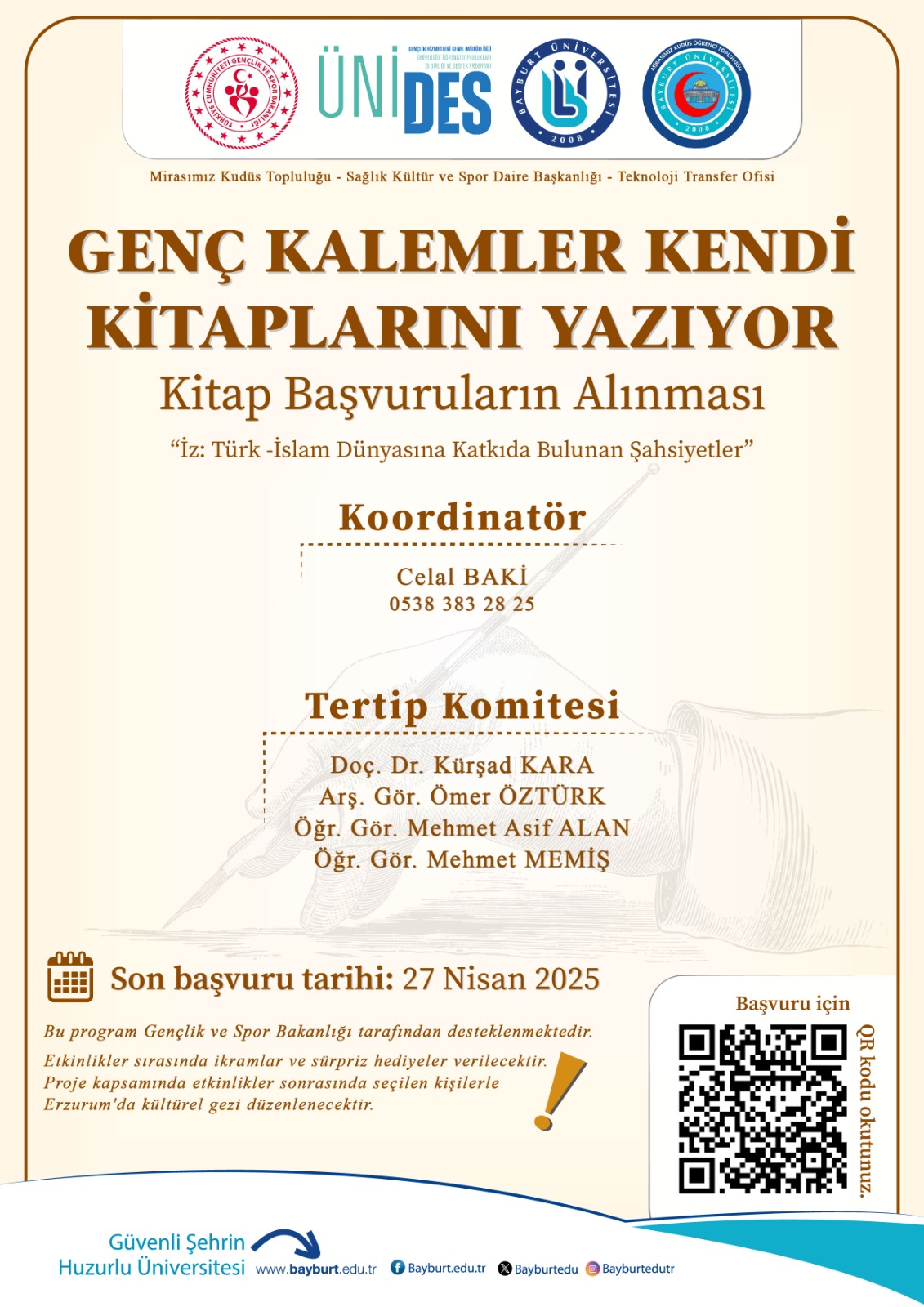
News


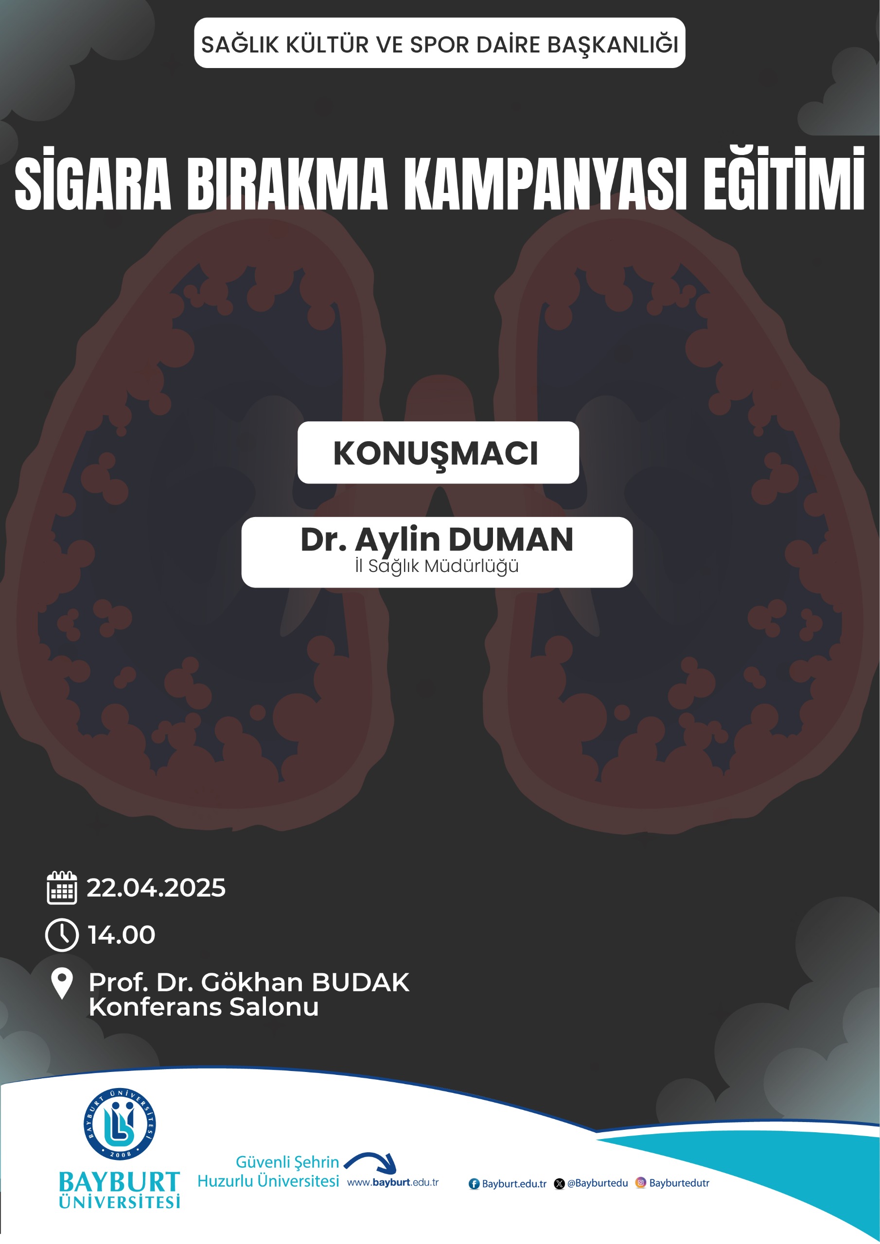
Announcements
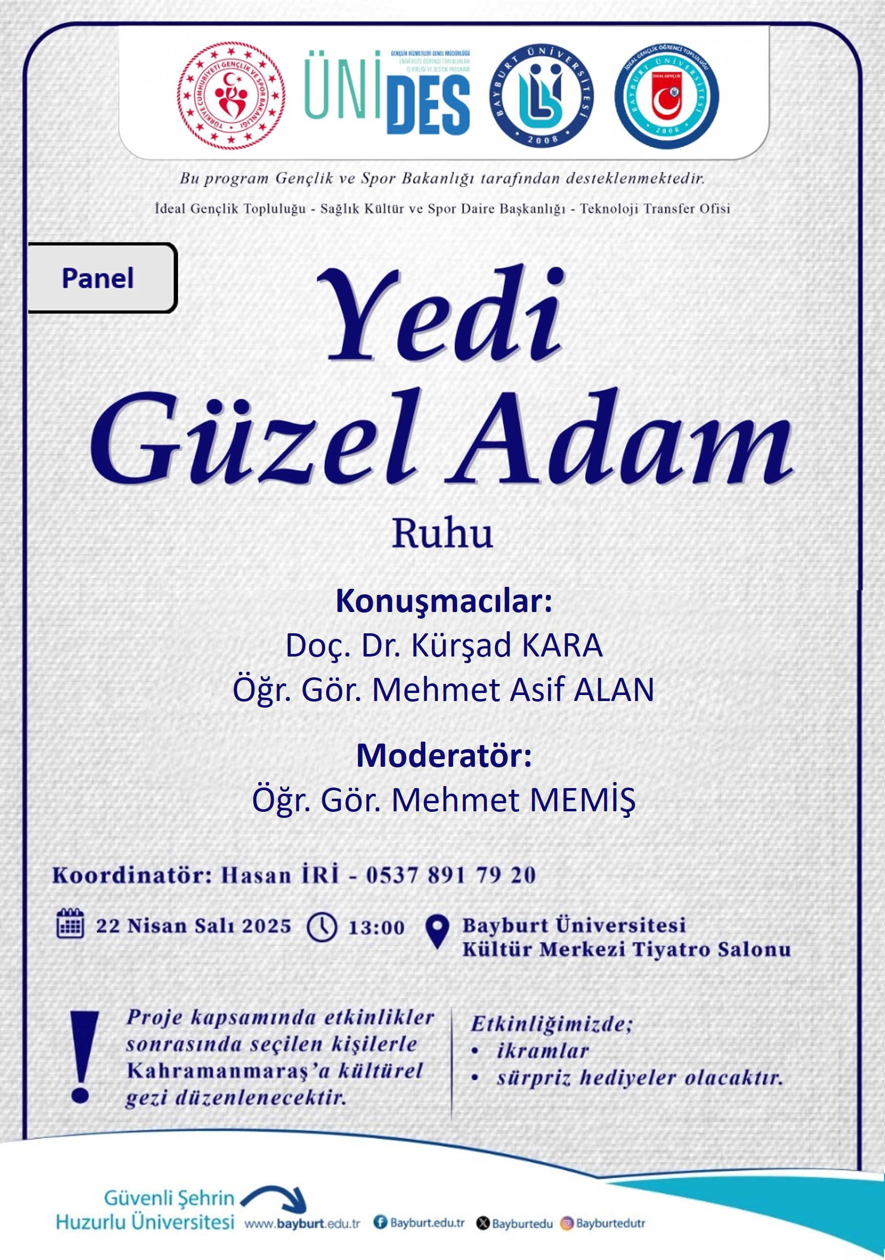
Events
Calendar 2025
Promotion Video